Sponsored by: Westwood
![]()
You can also choose to use TommieBot, an AI search assistant developed by St. Thomas School of Engineering students and faculty.
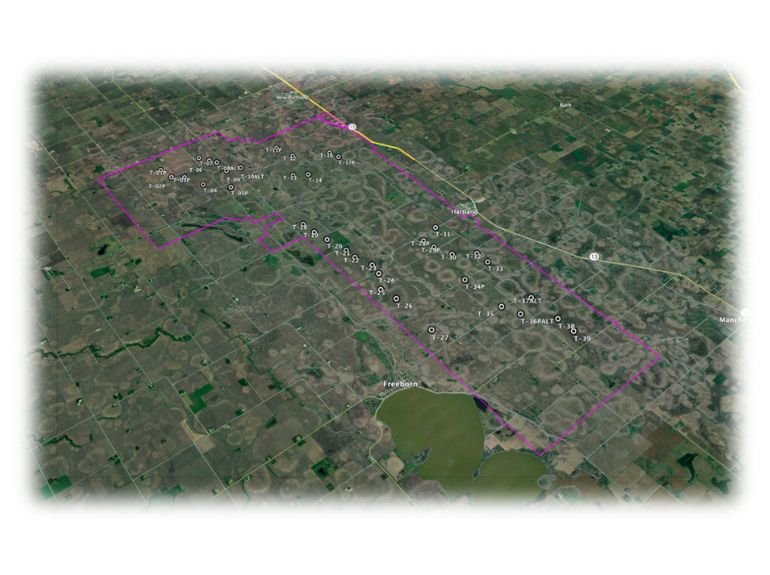
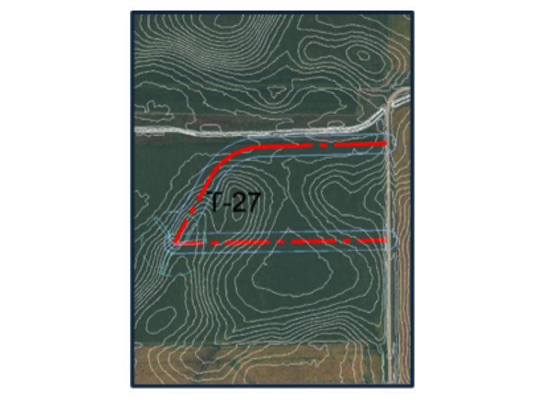
Take me to TommieBotThe Tommie Wind Farm project is a 38-turbine wind energy site design in Minnesota, developed by our University of St. Thomas senior design team for Westwood Professional Services. The project focuses on turbine layout, access road layout, stormwater management, and hydrologic analysis, ensuring compliance with MnDOT and EPA regulations. Using AutoCAD Civil 3D, HydroCAD, and Flo-2D, the team delivered a 30% bid-ready site plan that supports sustainable energy goals while addressing environmental and engineering challenges.
The goal of the Tommie Wind Farm project is to develop a detailed site plan that optimizes wind turbine placement, access road locations, grading, and stormwater management while ensuring environmental and regulatory compliance. Deliverables include a site layout plan set, hydrology report, cost estimation summary, and Google Earth Pro visualization. Using AutoCAD Civil 3D, HydroCAD, and Flo-2D, the design supports efficient construction, long term maintenance, and integration into the existing power grid, by providing a ready-for-bid 30% completion package for project stakeholders.
Download the project summary (PDF file).
Sponsored by: Westwood
![]()
Student Team:
Industry Representatives: Keith Rapp
Faculty Advisor: Ali Ling
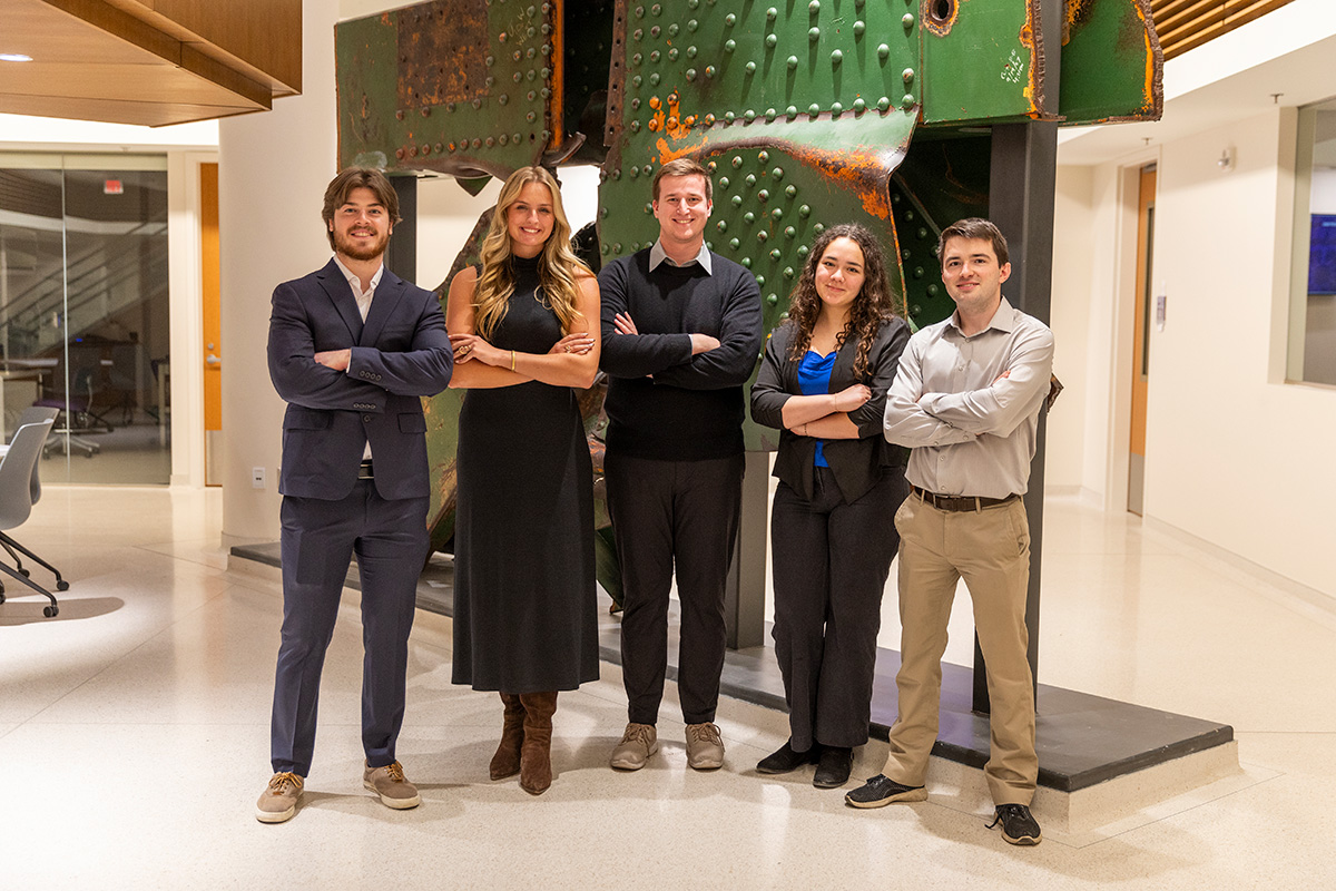
Pictured left to right: Samuel Nelsen, Alyssa Whaley, Johnathan Halva, Alisia Lemmons, Connor Gleeson.